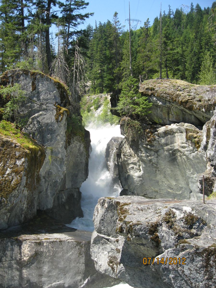
Nairn is a close encounter with the Green River’s erosive force. Water rushes through constricted rock, where swirling sediment has worn rounded potholes into the stone. BC Parks also identifies the area as a spiritual site for the Lil’wat Nation.
Researched visitor guide · Checked October 2, 2026
The falls viewpoint is 1.5 km from the day-use parking area. The return walk follows steep banks beside a fast, cold river, so supervise children closely and stay on the marked trail. Bicycles are not allowed on the waterfall trail; dogs must be leashed.
Our take
Choose Nairn when you want a real riverside walk rather than a roadside overlook. The modest distance should not obscure the exposure beside the river.
An editorial assessment of published sources, not a firsthand review.
Location & map
Pemberton, British Columbia
50.28917, -122.83389 Official geographical feature point, not a trailhead. Source accuracy: 100 metres.
 Short walk